UN
23 Westfield Gardens
£ 209,950
Description
We don't have a Description for this property.
- Bedrooms
- 4
- Bathrooms
- 0
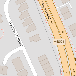
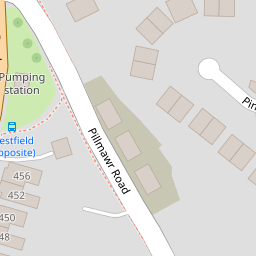

Leaflet © OpenStreetMap contributors
The heatmap indicates the level of crime in the area. The color of the heatmap indicates the crime severity and recency.
Metrics Year-on-Year
- Average area value
- 400,449.00 £Increased by 9.05 %
- Average area rental value
- 1,078.00 £/moDecreased by 1.73 %
- Est rental Yield
- 3.23 %Decreased by 9.78 %
- Crime Rate
- 13.00 %Unchanged by 0.00 %
from 367,227.00 £
from 1,097.00 £/mo
from 3.58 %
from 13.00 %
Nearby Schools
| Name | Type | Ofsted | Distance |
|---|---|---|---|
| Malpas Park Primary School | Welsh Establishment | 0.55 KM | |
| Malpas Court Primary School | Welsh Establishment | 0.91 KM | |
| Rougemont School | Welsh Establishment | 1.28 KM | |
| Newport High School | Welsh Establishment | 1.48 KM | |
| Crindau Junior & Infant School | Welsh Establishment | 1.79 KM |
Images
Nearby Streets
| Name | Average Price | Average Sqft | Distance |
|---|---|---|---|
| Pinewood Close | £ 250,000 | 0 | 0.00 KM |
| Mount Pleasant | £ 123,333 | 0 | 0.00 KM |
| Elm Grove | £ 270,000 | 0 | 0.00 KM |
| The Coppins | £ 0 | 0 | 0.00 KM |
| Aspen Way | £ 160,000 | 0 | 0.00 KM |
Nearby Transport
| Name | NLC | TLC | Distance |
|---|---|---|---|
| Newport (South Wales) | 3674 | NWP | 2.65 KM |
| Pye Corner | 1663 | PYE | 5.04 KM |
| Cwmbran | 3738 | CWM | 5.08 KM |
| Rogerstone | 9921 | ROR | 6.97 KM |
| Risca And Pontymister | 9920 | RCA | 9.58 KM |
Nearby Listings
| Address | Price | Type | Score | Distance |
|---|---|---|---|---|
| Westfield Gardens, Newport, NP20 | £ 270,000 | BUY | 6 / 10 | 0.01 KM |
| Westfield Gardens, Newport, NP20 | £ 135,000 | BUY | 6 / 10 | 0.01 KM |
| Malpas Road, Newport | £ 290,000 | BUY | 8 / 10 | 0.15 KM |
| 527 Malpas Road, Newport, Gwent, NP20 6NA | £ 150,000 | BUY | 5 / 10 | 0.22 KM |
| Larch Grove, Newport | £ 155,000 | BUY | 6 / 10 | 0.23 KM |
Nearby Properties
| Address | Price | Distance |
|---|---|---|
| 1 Westfield Gardens | £ 375,000 | 0.00 KM |
| 23 Westfield Gardens | £ 209,950 | 0.00 KM |
| 6 Westfield Gardens | £ 234,950 | 0.01 KM |
| 22 Westfield Gardens | £ 395,000 | 0.01 KM |
| 20 Westfield Gardens | £ 112,000 | 0.01 KM |